
Harrisonburg Neighbors by Block
Public records answer different block questions. Start with the city map to identify the focal parcel and the parcels around it. Use the assessment system to read the assessed-owner and mailing fields separately. Where the block reaches the city edge, county GIS is often the better map. Deed research remains a separate legal-record step. Civic organizations can add public history and event context, but they are not private member directories.
| Block source | What it shows about nearby parcels | Access route |
|---|---|---|
| City GIS viewer | Addresses, parcel boundaries, buildings, lots, streets, and city limits | Public interactive map and map-service layers |
| City Real Estate System | Assessed owner, mailing and situs lines, map number, values, and sale fields | Public city property search |
| Rockingham Online GIS | County tax map, 911 address, parcels, structures, roads, and adjacent-property context | Public guest access after the terms |
| Land-record index | Grantor, grantee, legal description, and prior deed references | Free SRA index; images by subscription or at the courthouse |
| Community resources | Public neighborhood history, events, partner projects, and archival leads | Public organization and city program material |
An owner card is an assessed-owner record, not a roster of occupants. For the named-street record chain beyond the immediate block, use the Harrisonburg street directory workflow.
Harrisonburg Neighbor Parcel Process
The city’s GIS resources lead to the General Map Property Viewer and layers for addresses, buildings, parcel boundaries, lots of record, city limits, and streets. First locate the exact address. Then identify its parcel, turn on parcel and address layers, and click the parcels that share a boundary or sit directly across the street. Compare the map feature with the city property record before recording an owner label or a mailing line.
- Enter the normalized address and verify the displayed house number and street label.
- Identify the focal parcel, then inspect directly adjacent parcels and the nearest opposite-side parcels.
- Open the city property result for each city parcel and retain the situs, mailing, map number, and assessed-owner fields separately.
- For a deed question, use the owner and legal parcel clues in the Circuit Clerk’s index, then check the recorded image or clerk copy route.
Address point to parcel boundary to assessed-owner card to deed index is the defensible flow. Skipping from a map label to a claim about a household creates errors.
Open the Harrisonburg GIS map resources before comparing a block’s parcel geometry.
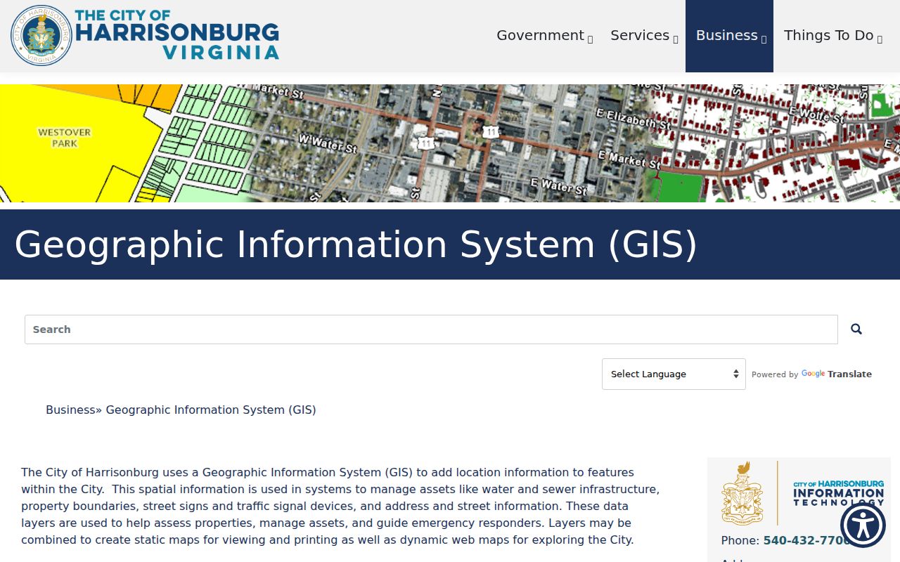
The city map is particularly useful for locating boundaries, buildings, street labels, and city limits. It is not a legal description, and the city’s GIS disclaimer means recorded plats and deeds control legal acreage and ownership.
Note: A parcel boundary answers a land question, not a question about every person who may use, visit, or occupy the property.
Harrisonburg Neighbor Checks at Edges
Harrisonburg is an independent city, but the surrounding county shares the Circuit Clerk land-record service. A Harrisonburg last line or a ZIP such as 22801 or 22802 does not prove the parcel lies inside city limits. That mismatch is common enough to be a research clue. Where the city map approaches an edge, compare the city-limit layer to Rockingham Online GIS before relying on a city property result.
The county system supports Owner Name or Tax ID, 911 address, and street or route searches. Owner searches use last-name-first-name and begins-with, contains, or exact options. County tax IDs use county syntax, including examples such as 125-(A)- L1. A city account can resemble 34 W 6; it should not be pasted into a county search as though the identifiers were interchangeable.
Check the city limit, parcel tax ID, 911 address, street label, and assessor jurisdiction together. That five-part check resolves many apparent neighbor mismatches without turning a mailing line into a jurisdiction decision.
Harrisonburg Neighbor Parcel Cards
The Harrisonburg Real Estate Information System is a current assessment resource, updated monthly according to the city’s real-estate information page. Its address search combines Street Number and Street Name; Owner Name and structured Map Number searches provide alternatives. An assessed parcel card can show an owner name, mailing address, map designation, situs street location, code, land or land-use value, building or improvement value, total value, and selected sale or building fields.
| Assessed owner | The ownership label used by the assessment record. |
|---|---|
| Mailing line | Where assessment notices are directed, which can differ from the parcel location. |
| Situs | The physical parcel location shown by assessment and map systems. |
| Map designation | A bridge between the property record and geographic context. |
| Values and sale fields | Assessment and transaction leads that should be checked against a deed. |
Neither the mailing field nor a value field proves residence. Use those fields to compare official records, then stop when the record does not support the question being asked.
Harrisonburg Neighbor Voter Boundaries
Virginia’s Citizen Portal supports registration, polling-place, district, absentee-status, and voting-history services. It is not an unrestricted neighbor search. Public precinct-list information under Va. Code §24.2-444 is limited to the fields the statute permits, including name, residence address subject to protections, year of birth, gender, and district information. The City Registrar can answer lawful inspection questions at City Hall.
Protected-address rules under Va. Code §24.2-418 and the Virginia Address Confidentiality Program can replace or withhold an address. Virginia has no party-registration field to add to a local neighbor record. Full voter-file requests are limited to qualified requesters who make the required authorization and use attestation. A block map should never be presented as a street-wide voter export.
Note: Voting history can indicate participation where an authorized record supplies it; it never reveals how a ballot was cast.
Harrisonburg Neighbors and Civic Partners
The city’s Community Connectors program is a public civic and history resource for the Northeast area. It brings together Northeast Neighborhood Association, Shenandoah Valley Black Heritage Project, Harrisonburg Downtown Renaissance, HRHA, and city partners. The public material also identifies Beth El, First Baptist, Bethel AME, the Dallard-Newman House, Lucy F. Simms, Ralph Sampson Park, Roses Market, and Newtown as community context. These are leads for events, history, archives, and civic documents, never a private contact list.
Northeast Neighborhood Association
Public neighborhood partner identified through Community Connectors and Northeast planning material.
Shenandoah Valley Black Heritage Project
Public history and archival context for Northeast and Black community research.
Harrisonburg Downtown Renaissance
Public downtown and civic-partner context connected with neighborhood planning.
HRHA
Public agency partner named in the Community Connectors project material.
Review the Harrisonburg Community Connectors project for public partner and neighborhood-history context.
The program received a $130,000 grant in September 2023 and published a first Northeast Small Area Plan or report in July 2025. Its North Mason demonstration and historical work belong to the public planning record, not a roster of local residents.
Harrisonburg Neighbor Project Clues
Addressed project records can add a public-work layer around a block. LAMA accepts a permit number or a city-formatted address. Its public results can release an applicant or contractor, project description, value, status, inspection trail, and related documents. Registered Advanced Search adds filters for date, value, permit type, and status. These records explain project activity, not who occupies a parcel.
IMAP shows Public Works projects in the right-of-way. A feature may include a permit number, address, timeframe, status, applicant or contact, and project description. Emergency work can appear before routine updates, while older items may move to an archive. Compare each map point with the underlying parcel, because a street project can affect a block without belonging to one specific property.
The Harrisonburg public-access permit information explains the separate right-of-way application route.
The permit material adds an address and project context, but it does not identify a block's current households.
Note: A permit or public-works contact is tied to the released project record and should not be treated as a current-neighbor record.
Harrisonburg Neighbor Source Comparison
Official records and commercial neighbor-lookup categories answer different questions. Maps and assessor systems state what agency-maintained parcel data displays at the time of access. Commercial categories may combine public and other data, can be stale or conflated, and often lack the map, deed, or statutory context needed to resolve an address. For an ownership question, the assessed card and recorded deed provide a checkable path.
| Source category | Useful strength | Important limit |
|---|---|---|
| Official GIS and assessor records | Parcel, map, situs, assessment, and jurisdiction context | Assessment ownership is not an occupant list; maps are not legal descriptions |
| Circuit Clerk land records | Recorded deed parties and legal descriptions | Address alone cannot locate a deed; image access may require a subscription or clerk route |
| Commercial neighbor category | May offer a starting lead | Can be stale, merged, incomplete, or detached from the original custodian record |
Use the original city, county, clerk, or registrar source to verify a result. The most reliable comparison is between the parcel record, the map, and the deed details that match it.
Harrisonburg Neighbor History in Newtown
Harrisonburg blocks have different record eras. Newtown was annexed around 1892, and the Northeast Small Area Plan connects that boundary history with current civic work. A historic block can shift from a county context to a city context over time, even though city and county land records continue through the Rockingham Circuit Clerk. Preserve the address form and boundary context shown by each source before joining records across eras.
For building context, the Library of Congress 1912 Harrisonburg Sanborn set has 18 sheets. It can help place streets, structures, and uses around a block. It cannot identify neighbors or establish property title. Pair it with the GIS, a recorded deed, and public local-history sources from Massanutten Regional Library or Rocktown History.
Harrisonburg Neighbor Privacy Limits
Some block information is not public. An assessment result does not disclose a full household. Utility accounts, delivery records, DMV information, protected voter addresses, and confidential program addresses are not general-purpose neighbor records. Courts can also seal or restrict material. A public civic partner list does not give permission to seek private membership or personal contact information.
The appropriate rule is minimum necessary research. Confirm a parcel or property question from the responsible custodian, keep protected details out of notes and posts, and do not use a map or directory entry to monitor a person. The Virginia stalking and computer-harassment laws reinforce the need for that boundary.
Lawful use. Use Harrisonburg neighbor records for personal, lawful property, family-history, or civic-context questions. Do not stalk, harass, intimidate, or reveal a protected address.
Note: When a record is unclear, request clarification from the map, assessment, clerk, or registrar office rather than filling the gap with a guess.