
Harrisonburg Street Directory Walkthrough
Start with a complete address, then treat each result as a separate record key. The city property system can identify an assessed owner and a situs address, while GIS places that parcel among its adjacent lots. The land-record chain comes later, once an owner name, map reference, legal description, or deed book and page is available. Virginia voter material has narrow statutory access and does not create a public house-by-house list. Historical directories may add context, but their exact local reverse runs must be confirmed at the library.
- Normalize the house number, directional prefix, street name, suffix, unit, city, ZIP code, and whether the parcel is in the independent city or adjacent county.
- Search the Harrisonburg Real Estate Information System with the exact number and its Street Name selector. If needed, try the owner surname or map number.
- Open the city GIS viewer and identify the matching address and parcel. Compare boundaries, structures, street labels, and city limits before treating the result as a city parcel.
- Use the assessed owner and legal parcel clues in the Rockingham Secure Remote Access index to locate the recorded deed trail.
- For an older household question, ask Massanutten Regional Library about a reverse or criss-cross directory, then test a directory entry against newspapers, deeds, and census-era sources.
The Harrisonburg street directory is strongest when each step preserves the spelling, address form, and date shown by its original source. A result from one source should be checked against the next rather than treated as a final identity claim.
Harrisonburg Address Search Forms
Address spelling matters in Harrisonburg. Enter the exact street number, choose the normalized street name where the city system provides a selector, and retain a directional prefix, suffix, and unit if the source uses one. A record with a Harrisonburg last line or a 22801 or 22802 ZIP can still belong to a county-side parcel. Check jurisdiction in GIS before changing systems. For permit research, LAMA is especially strict: its research notes show that 409 S Main Street
is accepted while 409 South Main
may not be.
A situs address identifies where a parcel physically sits. The mailing address is where assessment notices go. They may match, but they need not. Record both lines without converting either into proof of who presently occupies the location.
- Parcel
- A mapped unit of land used by the assessment and GIS systems.
- Situs address
- The physical street location associated with the parcel.
- Plat
- A recorded map of lots, boundaries, or subdivisions that supports the legal description.
- Criss-cross directory
- A historical directory section organized by street address rather than alphabetically by name.
Note: Preserve the source’s original form before testing a cleaned-up version, because that record of variation can explain a failed match.
Harrisonburg Street Property Fields
The city’s real-estate system is the primary assessed-property tool for a street directory search. The current system is updated monthly, and the city directs property questions to Real Estate at 409 S. Main Street, 540-432-7795. Its address tab combines a street-number text box with a Street Name selection. The owner search advises trying a last name only. Map Number accepts a structured designation, with examples such as 011 C 38, and its advanced fields offer useful ways to distinguish similar parcels.
| Harrisonburg search mode | Observed field | Use on a street search |
|---|---|---|
| Address | Street Number and Street Name | Use the exact number and the system’s normalized street label. |
| Owner | Owner Name | Try the last name when an address result needs confirmation. |
| Map Number | Structured number, letter, and ending | Use the city format displayed by the property record. |
| Advanced | Building Type, Subdivision, Primary Zoning | Separate similarly named locations by physical context. |
| Advanced | Finished square feet, value, sale price, sale date | Narrow results only where the portal supports the selected range. |
A property card can display the owner, mailing address, map designation, street location, classification code, land or land-use value, building or improvement value, and total value. Sale fields are leads, not a substitute for a recorded deed.
Harrisonburg Address Record Routes
Online results are only one access channel. The Rockingham Circuit Clerk Land Records Division maintains the deed records for Harrisonburg and the county at 80 Court Square. Its SRA index is free to search, while deed images are available through an online subscription or at the courthouse terminal. When an image or a certified copy is needed, the clerk also documents phone and mail copy routes. The division says copy requests are not made by email or a website, so begin with the owner name, book and page, legal description, or tax-map clue before calling.
Historical name and deed-index leads are available through the county genealogy material, while MRL provides the local reference-room fallback for printed sources, newspapers, maps, and possible reverse directories. MRL materials are reference-only, and staff assistance may be needed for locked or VAULT items. The Newberry catalog verifies a Harrisonburg city directory for 1929-1930, but it is a catalog record rather than an exposed address page. The city FOIA route can be used for a reasonably specific request for non-exempt city records, but it does not override privacy laws or create a general address roster.
Note: Keep the access route matched to the record type, because a property portal, a clerk copy request, and a library shelf answer different questions.
Harrisonburg GIS by Street
The City General Map Property Viewer supplies the street-level context around a property result. Its underlying map services include Addresses, Buildings, Parcel Boundaries, Lots of Record, City Limits, and Streets. The address service uses fields called NUMBER_, STREET, FULL_ADDRE, and HUAddr. Those fields identify map features, not a current-resident list.
See the Harrisonburg GIS parcel viewer before moving from an address point to a neighboring parcel.
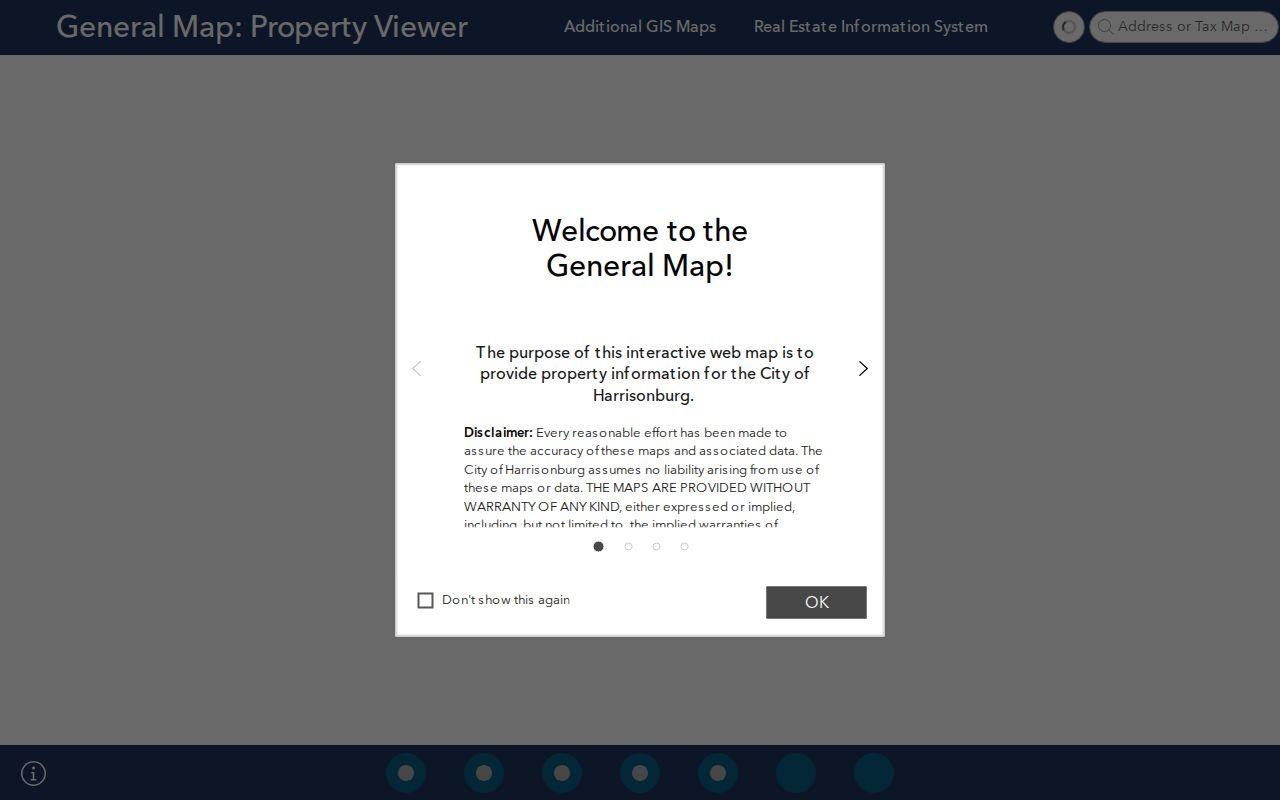
The viewer helps distinguish lots, buildings, road labels, and city limits. The city warns that GIS is not a legal description and does not guarantee accuracy, so a deed or recorded plat controls legal ownership and acreage.
For a county-edge address, Rockingham Online GIS accepts owner name, tax ID, 911 address, and street or route searches. Its layers include property lines, structures, roads, floodplain, aerial imagery, and tax-map labels.
Harrisonburg Street Record Coverage
No one address workflow answers every question. These records cover different parts of the trail and have different access paths. A parcel card is an assessment record, while a deed is the legal land document. A historical directory may name an address occupant for one period, but it does not prove a complete household or a continuous stay.
| Address-keyed record | What it can show | Harrisonburg access route |
|---|---|---|
| City assessor | Assessed owner, mailing and situs lines, map number, values, and sale filters | Public city property system, updated monthly |
| City or county GIS | Parcel geometry, 911 address, structures, streets, and jurisdiction context | Public map viewers with terms and disclaimers |
| Recorded deeds | Grantor, grantee, legal description, consideration, and prior-deed reference | Free SRA index; image subscription, courthouse terminal, phone, or mail copy route |
| LAMA permits and IMAP | Addressed work, project description, status, and related public-work clues | City permit portal and public-works map |
| Historical sources | Published address or built-environment context | MRL, Newberry catalog lead, local newspapers, and the Library of Congress Sanborn set |
The Harrisonburg city directory collections are the place to pursue a confirmed historical volume, rather than assuming the web exposes a complete reverse-directory run.
Note: Map and assessment results are useful discovery records, but recorded plats and deeds remain the controlling legal sources for land facts.
Harrisonburg Deed Keys by Address
Harrisonburg became an independent city in 1916, but the Rockingham Circuit Clerk continues to serve both city and county land records. The clerk’s Land Records Division is at 80 Court Square. Its free SRA index leads to land records, judgments, UCC items, wills and probate material, marriages, and limited genealogy; images are available by subscription or at an in-office terminal. The county genealogy pages also expose grantor and grantee index pages for 1864-1910 and 1910-1944, plus land grants from 1739-1827.
An address alone cannot locate a deed copy at the clerk’s office. Start with the owner as grantee, match the approximate acquisition date and legal description, record the grantor and prior book and page, then search that grantor as an earlier grantee. A city account such as 34 W 6 is not the same thing as a county tax-map identifier. County GIS examples include 125-(A)- L1, including the space after the second dash.
View the Rockingham County GIS service when a Harrisonburg mailing line may conceal county jurisdiction.
The county viewer adds an adjacent-parcel and tax-map perspective. It is a discovery layer, so retain the tax ID and legal description before requesting a deed image or copy.
Harrisonburg Street Permits and Work
LAMA is the city’s public permit portal. A visitor can search by permit number or address. Registered Advanced Search adds date range, project value, permit type, and status controls. When released, a permit may identify an applicant or contractor, work description, value, status, inspections, and documents. Such details describe a project record, not a list of people connected to the building.
Open the Harrisonburg LAMA permit search with the normalized street form used by the city.

A result can help date construction, alteration, demolition, or inspection activity. A missing or archived result does not establish that no work occurred, and no separate citywide code-case search was verified in the official sources.
Public Works uses IMAP for right-of-way projects. A map feature may include a permit number, address, timeframe, status, applicant or contact, and project description. Emergency work can appear before routine updates, and older projects may move to an archive.
Use the Harrisonburg IMAP public-works map to check an address-based project record.
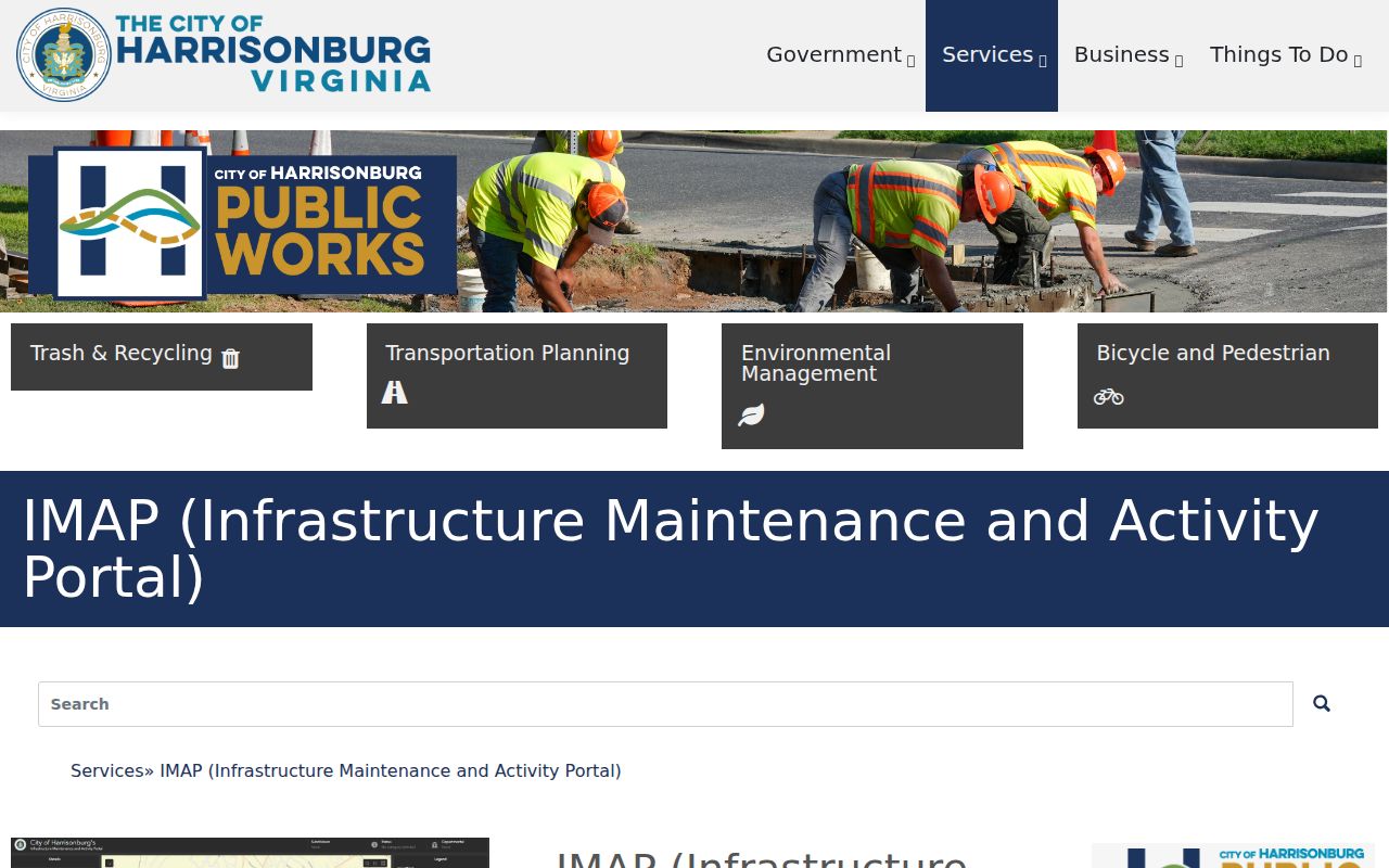
IMAP complements LAMA by showing work in the public right-of-way rather than ownership. Both systems should be read beside the parcel and deed record.
Note: A permit applicant, contractor, or contact field describes the released project record and should not be used to infer current residence.
Harrisonburg Street Names Through Time
Older records may use a street label or boundary that does not match the current map. Harrisonburg’s growth included annexations in 1892, 1937, 1938, 1950, 1965, 1970, and 1982. A historic address can therefore appear in county material before it appears in a city context. A local historical account reports that German Street became Liberty by 1914; current city transportation material uses Martin Luther King Jr. Way. The record trail should preserve those labels and seek City Council material before treating a reported change date as the legal ordinance date.
The Library of Congress Harrisonburg Sanborn collection contains an August 1912 set of 18 sheets for building and street context.
Sanborn sheets can show a building footprint, use, and the street setting at that moment. They do not identify occupants, so pair them with a deed, permit, historical directory, or newspaper rather than using a map as a people record.
Harrisonburg Street Directory Limits
A street search cannot reveal every person connected with an address. Assessor cards identify assessed ownership, not an occupant roster. GIS building footprints are not person records. Utility accounts, delivery and forwarding information, and DMV address data are not general public street-search sources. The owner’s mailing line can be useful for correspondence research, but it is not proof that the owner occupies the parcel.
Virginia voter records have their own limits. The Citizen Portal is a service tool, and the public precinct-list fields allowed by Va. Code §24.2-444 are subject to exclusions. Protected-address provisions, including Va. Code §24.2-418 and the Address Confidentiality Program, must be respected. Full voter-file access is limited to qualified requests and authorized uses, not broad street browsing.
Lawful use. Use Harrisonburg address records for personal, lawful research such as family history, property questions, or civic context. Do not use them to stalk, harass, intimidate, or expose a protected address.
Note: When ownership or boundary facts matter, confirm them with the Circuit Clerk’s recorded deed or plat rather than relying on a map display alone.