
Harrisonburg ZIP Code Directory Coverage
The city identifies 22801 and 22802 as its two main ZIP codes. Official city and voter material also shows local uses of 22803 and 22807. The available research verifies those uses, but it does not establish complete boundaries, delivery-office assignments, or unique-ZIP status for every one of them. That distinction matters. A postal code directs mail, while assessment and GIS systems determine which city or county record trail applies to an address.
| ZIP | Areas Covered | Post Office | Notes |
|---|---|---|---|
| 22801 | Primary Harrisonburg use, plus some county-side shared-address contexts | Main Harrisonburg Post Office, 3811 S. Main St., 22801-9998, 540-574-6074 | Shared city/county mailing use does not establish a city boundary |
| 22802 | Harrisonburg and nearby county mailing contexts; an EMU example uses 1200 Park Road | Dedicated assignment not located in official sources | Verify the exact address through USPS and county GIS |
| 22803 | Official city reassessment and mail uses | Geography and post-office status not located in official sources | Do not infer a complete boundary or box-only status |
| 22807 | JMU campus and PMB use; voter instructions use 800 S. Main St. | Separate office assignment not located in official sources | Campus format is not a residential-parcel boundary |
The Harrisonburg services page is the official source for the two main city ZIPs.
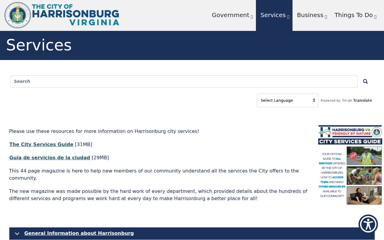
Use the city description as a starting point, then confirm the precise street address with postal and parcel tools.
Harrisonburg ZIP Code Directory Main Areas
The 22801 and 22802 entries are not city-limit maps. The Rockingham County mailing-address FAQ says both appear on city and county addresses. A county resident may also use Rockingham, Virginia as a preferred last line. That makes a Harrisonburg last line a mailing convention, not legal jurisdiction evidence. When an address is near the city edge, search the county GIS and the city property system before selecting a deed or tax office.
Postal geography can be practical without being a resident roster. The Main Harrisonburg Post Office is verified for 22801-9998, but the research did not locate a complete city-state USPS output or a dedicated delivery-office claim for 22802. The safe conclusion is narrower: each full address needs its own postal validation. Note: A USPS match does not verify that a person or company is at the address.
Harrisonburg ZIP Code Directory Local Uses
22803 and 22807 are useful local clues with explicit gaps. City reassessment entries demonstrate Harrisonburg 22803 mail use, yet the research did not verify its full geographic coverage, a dedicated delivery office, or whether it is a unique or post-office-only code. JMU materials use 22807 with the campus and PMB format at 800 S. Main. That confirms an institution-style use, not a complete campus boundary or a claim about every address using the code.
The same care applies to student addresses. JMU's voter instructions distinguish on-campus PMB forms from addresses on Grace Street, while an EMU example uses 1200 Park Road, 22802. A campus mailing box can help the post office route mail, but it is not the same field as a situs address or an assessor parcel. Preserve both strings when checking a record, rather than substituting one for the other.
The city voter-registration guidance shows the local campus addressing context.
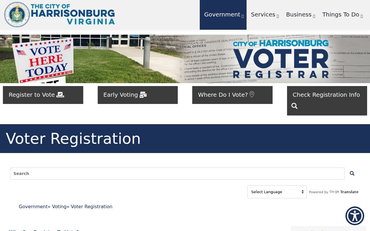
Campus instructions help format a voter-service address, but they should not be used to guess a parcel jurisdiction.
Verify a Harrisonburg ZIP Code Address
The USPS ZIP Lookup is the exact-address check. In address mode, it asks for a required street address and required city and state, with optional company, apartment or suite, and ZIP fields. It also offers City and State and Cities by ZIP modes. Use the full normalized address first. That is especially important for an apartment, PMB, county-edge address, or a street that appears in historic records under another name.
| Lookup mode | Required or observed fields |
|---|---|
| Address | Street Address, City, State; optional Company, Apt/Suite, and ZIP |
| City and State | City and State |
| Cities by ZIP | ZIP |
| Result limit | A match does not confirm a person or company at an address |
Record the returned mailing line exactly. Then check whether the parcel lies in the city or Rockingham County. USPS handles delivery addressing; it does not decide ownership, legal acreage, voting eligibility, or who occupies a building.
Harrisonburg ZIP Code City County Trap
A parcel can have a Harrisonburg mailing line while sitting county-side. Harrisonburg and Rockingham use adjacent, not interchangeable, addressing systems. The city GIS directs property-line, address, and building questions to 540-432-7700. Rockingham County routes county addressing questions through its GIS and Street Naming contacts at 540-564-3029. Use both channels when a post-office line and a parcel result point to different jurisdictions.
This is a local research quirk worth retaining rather than correcting away. Harrisonburg became an independent city in 1916, but the Rockingham Circuit Clerk still records land documents for both city and county. A city parcel may begin in the city assessor and continue to the Rockingham land-record index. A county parcel with a Harrisonburg ZIP may begin with county GIS. The ZIP narrows a delivery question; the parcel and deed establish the legal trail.
Find Records Within a Harrisonburg ZIP
No inspected official portal supplies a verified ZIP-wide list of residents. The city assessor's advanced search exposes building type, subdivision, zoning, square-foot, value, sale-price, and sale-date filters, but not a verified ZIP filter. County GIS accepts owner, address, street, and tax-map searches. The voter service uses address and precinct logic, not a public ZIP roster. That limitation protects against reading a delivery code as a list of people.
- Run the exact street address through USPS and retain the returned line.
- Search the Harrisonburg assessor if the address appears city-side; otherwise start with Rockingham GIS.
- Compare the situs, mailing line, parcel or tax-map number, and jurisdiction before opening a deed.
- Use the Circuit Clerk's land-record index by party name, book and page, parcel, or legal description, not by ZIP alone.
- Once an address is normalized, use the Harrisonburg By Street directory for the address-keyed record sequence.
The appropriate result is an address or parcel trail, not an assumption about everyone who receives mail within a code.
Harrisonburg ZIP Code Record Keys
Assessment, GIS, deeds, and older directories use different keys. The city uses accounts that can resemble 34 W 6. County tax-map numbers may resemble 107-A-196A1 or 107/A//196/A1, and a county GIS example uses 125-(A)- L1 with a space after the second dash. Do not paste a city account into a county search or assume a modern street number appears in an older deed. Select the parcel in GIS, then carry its tax-map or legal-description link into the record that needs it.
- ZIP and ZIP+4
- A ZIP directs mail to a delivery area; ZIP+4 adds a more specific delivery segment.
- PO-box ZIP
- A postal code associated with box delivery, which does not by itself identify parcel geography.
- Unique ZIP
- A code used for one organization or delivery arrangement; no such status is asserted here unless USPS confirms it.
- Carrier route
- A delivery sequence used by postal operations, not a legal boundary or resident list.
- Situs
- The physical parcel location used by assessment, GIS, and permit mapping.
The deed's legal description or plat controls title. A mailing address is where notices go, and a reverse or criss-cross directory is a historical street-to-occupant tool. These fields can agree, but they answer different questions.
Historic Harrisonburg ZIP Code Clues
When a historic address does not fit a current delivery result, check street history before assuming it is wrong. The downtown grid centers on Court Square, with Main and Liberty as major axes and streets such as Gay, Rock, Wolfe, Elizabeth, Market, and Water nearby. A local history source reports German Street became Liberty by 1914, while official current materials use Martin Luther King Jr. Way. Confirm a legal name bridge through City Council material before treating an old label as the same street.
Annexations also change the record context. The city history lists annexations in 1892, 1937, 1938, 1950, 1965, 1970, and 1982. An older address may therefore appear in county books, a historic directory, or a different street convention. The 1912 Sanborn map and local library resources can establish building and street context, but neither verifies postal delivery or a resident. Note: The research found no verified ZIP split, realignment year, boundary count, or ZIP-level population statistic for Harrisonburg.
Harrisonburg ZIP Code Boundaries and Limits
A ZIP code is a postal tool, not proof of a city limit, a property line, or a person's location. For a legal question, compare the exact USPS result, city assessor or county GIS parcel, and recorded deed or plat. For an elections question, use the Registrar and the citizen portal. For a historic question, use the address with the correct era's map, directory, newspaper, or courthouse record. Keeping each source in its own role produces a more reliable Harrisonburg result.